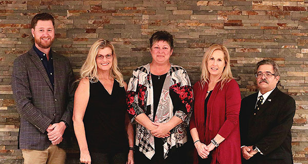
According to Indian Trail Improvement District President Betty Argue, the district is facing a “traffic tsunami,” and residents need to get involved if they don’t want the area’s rural lifestyle to be swept way.
Argue made the comments at the ITID board’s Wednesday, April 21 meeting.
“I urge our community to think about what we are faced with,” Argue said. “I’m not exaggerating. This is the reality… It’s what happens when you build around 20,000 homes in an area that is already essentially built out.”
Part of that reality is that the area’s roads under Palm Beach County control are going to be widened, Argue said. They include Seminole Pratt Whitney Road, Northlake Blvd., Orange Blvd. east of Seminole Pratt to Royal Palm Beach Blvd., and Coconut Blvd. north of Orange to Northlake.
Several five-lane interchanges likely will be created by the county in residential areas, she said.
“The district has challenges because of this, and the property owners along these corridors also face challenges,” Argue said, adding that the wider roads “are needed not only for the current traffic but also for the traffic created by construction and development.”
The ITID board, however, is not considering zoning or land use changes, and not looking to create commercial areas around the five-lane interchanges, Argue said, despite rumors to the contrary on social media sites.
Argued pointed to the board’s next meeting on Wednesday, May 19 when Kim DeLaney with the Treasure Coast Regional Planning Council will be on hand to talk further about the “complete streets” mobility plan that the board approved in December.
DeLaney spent 18 months helping to develop the plan to determine design expectations, identify partners and recommend improvements for ITID over the next two decades.
The plan is intended to control cut-through speeding, reduce county impacts on ITID residents, add more traffic calming, improve safety for bicyclists and pedestrians, keep the rural look, explore canal bank pathways, promote bioswales as buffers, and consider golf carts and other uses.
The plan also suggests 72 miles of sidewalks on ITID’s 85 miles of roadways and a 41-mile equestrian trail network.
“Many wish the area wasn’t changing, but that horse has long since left the barn,” Argue said. “If we do nothing, way, way more [traffic] is coming… We’re trying to protect our rural, equestrian and agricultural community.”


