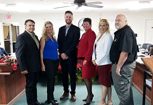
The Indian Trail Improvement District Board of Supervisors will hold a workshop on Saturday, Jan. 12 at 9 a.m. on the proposed R3 road plan, which will pave areas of Acreage roadways that are of mutual benefit to all units of the district, followed by a bus tour of facilities at noon.
The R3 plan has been discussed for several years as a way for all Acreage residents to shoulder the cost of improving sections of roadway that benefit residents of more than one unit.
ITID is divided into units of development. Traditionally, local roads are maintained by assessments charged only to residents of that unit. However, some local roads also serve as conduits for the larger community. Upgrading those roads have long been a conundrum for ITID officials.
The workshop and bus tour are both open to the public, but residents need to make reservations for the tour by contacting the ITID office.
“The workshop will give a presentation on the R3 road plan, which includes an overview, because we have three new board members who have not been a part of the development of the R3 road plan,” Argue said. “That’s the first part of the workshop, and the second part is to give an introduction to the operations of the district by the district staff.”
The workshop will be from 9 to 11 a.m., followed by the bus tour.
“We’re going to try to get to as many facilities, parks, pumps and water storage areas [as possible],” Argue said. “We won’t be able to get into the impoundments in the tour bus. The [largest] part of the tour is to give the lay of the land, to talk about the different issues in the area, and physically see the things we’ve been talking about on paper.”
The tour will visit ITID’s parks to familiarize people with their location and present conditions and concerns about them, as well as road conditions.
“Everything in our path is pretty much open for discussion or questions,” Argue said. “That’s why we call it an ‘inspection tour’ because it’s a tour of district facilities.”
Argue said the tour is primarily for new board members, but residents are free to make reservations because it is considered a public meeting.
The workshop will focus on the R3 road plan, which is proposed to cover approximately 9.5 miles of road near schools; the fire-rescue station at Avocado Blvd. and 61st Street, which is currently a dirt road in need of paving so fire trucks can use it safely; and other public facilities and areas that are heavily traveled.
“These are roads near parks, schools, ITID facilities and fire stations,” Argue said. “They currently have an overabundant amount of traffic for dirt roads. Some of them are millings, which can only hold up for so long under that amount of traffic. It’s an interim solution. The long-term solution is to pave it because it will better withstand the amount of traffic.”
Some of the roads are in the R3 plan because they are cut-through roads that are highly used and degrade more rapidly by the heavy traffic. “The concept is that all the active units in The Acreage, as well as the contract units, will share in the cost of those road improvements because all those people benefit from it,” Argue said.
Roads in the R3 plan include: a one-mile stretch of Hamlin Blvd. from 190th Street North to 180th Avenue North to improve access to Nicole Hornstein Equestrian Park; two miles of 180th Avenue North to improve access to schools; a half mile of Tangerine Blvd. from 180th Avenue North to Mandarin Blvd. to improve school and resident access; 0.6 miles of 94th Street North from Banyan Blvd. to Seminole Pratt Whitney Road to improve resident access and safety; a half mile of Tangelo Blvd. from Seminole Pratt Whitney Road to Apache Blvd. to improve resident access and safety; 0.25 miles of Hamlin Blvd. from Hall Blvd. to Nicole Hornstein Equestrian Park and 0.25 miles of 89th Place North to improve park access; 0.9 miles of 140th Avenue North from 61st Street North to Orange Blvd. to improve park and fire-rescue access; 0.4 miles of Tangerine Blvd. from 140th Avenue North to Avocado Blvd. to improve park access; 0.4 miles of 61st Street North from 140th Avenue North to Avocado Blvd. to improve fire-rescue and park access; 1.7 miles of Mango Blvd. from Mellow Court to 60th Street North to improve resident access; and one mile of 180th Avenue North from Alan Black Blvd. to Sycamore Drive to improve ITID and resident access.
The R3 plan and possible action on it will be discussed at an ITID board meeting on Thursday, Jan. 31 at 6 p.m.


